
Courtesy of AppleInsider which has a great breakdown of how Apple’s new Maps app in iOS 6 stacks up against Google’s map offering. You might remember that the technology comes from C3 Technologies, a Swedish company Apple acquired back in 2009.
They described their technology thusly:
C3 Technologies is the leading provider of 3D mapping solutions, offering photo-realistic models of the world for search, navigation and geographic information systems. Since 2007 when it was spun out of the aerospace and defense company Saab AB, venture-backed C3 has redefined mapping by applying previously classified image processing technology to the development of 3D maps as a platform for new social and commercial applications. The Sweden-based company’s automated software and advanced algorithms enable C3 to rapidly assemble extremely precise 3D models, and seamlessly integrate them with traditional 2D maps, satellite images, street level photography and user generated images, that together are forever changing how people use maps and explore the world.
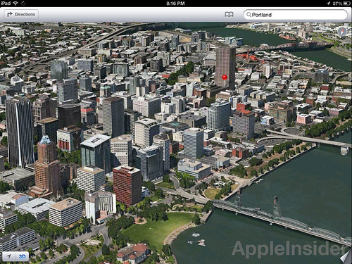
A little Portland action.
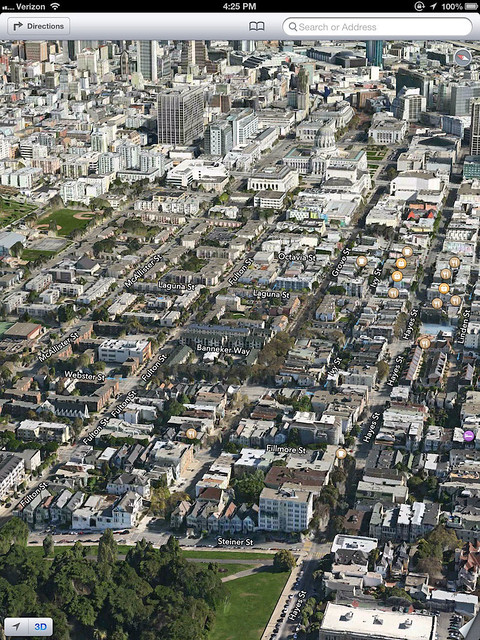
Gorgeous.

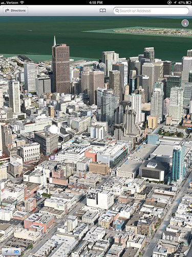
Apple HQ..

Check out more after the break.


Thu, Aug 30, 2012
News